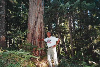
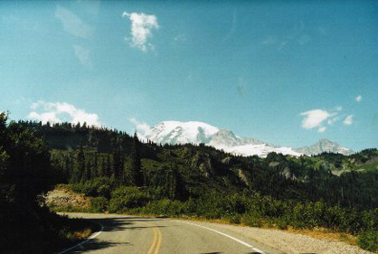
Mount Rainier National Park was established over 100 years ago and encompasses 235,625 acres, ranging in elevation from 1,610' to 14,410' above sea level. The "mountain" is actually an active volcano encased in over 35 square miles of snow and ice, surrounded by old growth forest and stunning wildflower meadows. This trip was a weekend add-on to a business trip to Microsoft headquarters. Decided to take the scenic route and enter the park at the northeast White River entrance and meander the 50 miles to my campsite, Cougar Rock, in the southwestern section. Reservations are required at the Cougar Rock and Ohanapecosh Campgrounds between June 28 and Labor Day and can be made online up to five months in advance through the National Park Reservation Service. You may reserve a site when you arrive if space is available. No utility hookups are available in campgrounds. All other campsites are on a first-come, first-served basis.
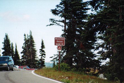 At 6400 feet above sea level Sunrise is the highest point in the park that is reachable by vehicle. On clear days Sunrise provides breathtaking views of Mount Rainier, the Emmons glacier, and other volcanoes in the Cascade range.
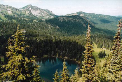 One of views from Sunrise.
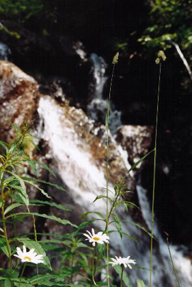
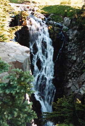
 Their are many snowmelt waterfalls in the park. This is a small one on the side of the road between the Stevens Canyon Entrance and Paradise.
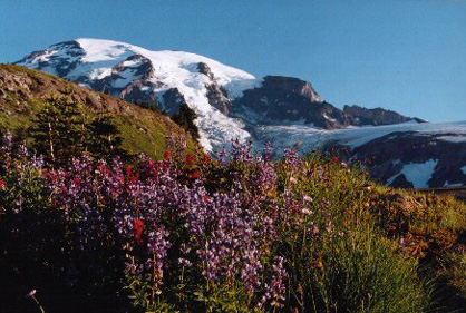
 Early August seems a perfect time to visit. Temperatures were mid-70s/day and low-50s/night. The wildflower meadows were all abloom.
 Mountain(volcano) view on the road to Paradise.
 Narada Falls - a 168 foot high cataract, 3 feet higher than Niagara Falls. From the parking lot, walk across the bridge and down the steep .2 mile trail for an excellent view near the base.
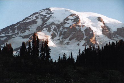
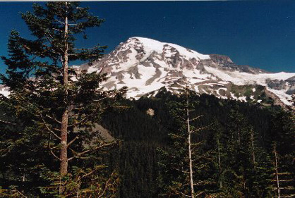 Mt. Ranier predominates. You get many different views - all excellent!
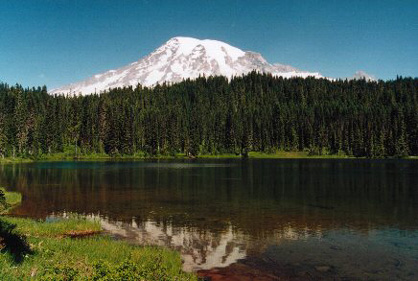 This shot is from Reflection Lakes.
 From Reflection Lakes just below Paradise.
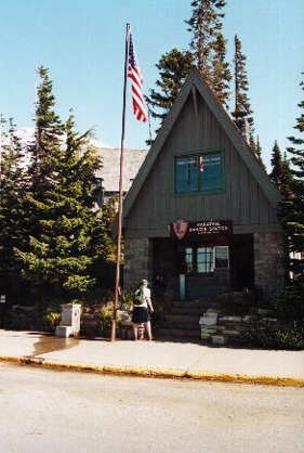 Climbing Mount Rainier is hazardous and requires skill, proper equipment, and excellent physical condition. Climbers must register to climb and play a fee if climbing above 10,000 feet. Primary registration locations are the Paradise Ranger Station, White River Wilderness Information Center, and the Wilkeson Ranger Station.
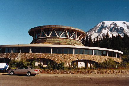 Vistor Center at Paradise. Centers are also located at Longmire, Ohanapecosh, or Sunrise.
 Climbers getting an early start from the Paradise parking lot to Camp Muir, 10,188' - where they will spend the night before summiting the next day.
 Myrtle Falls near Paradise.
 Myrtle Falls. The Skyline Trail trailhead is located to the left of the Ranger Station in the large parking lot at Paradise.
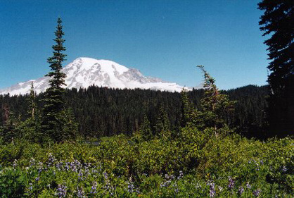
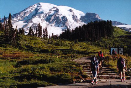
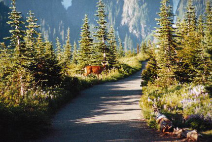 The Skyline Trail offers stunning displays of subalpine wildflowers, a close-up look at Mount Rainier and the Nisqually Glacier, and, on a clear day, views of peaks as far south as Oregon's Mount Hood. Wildlife too!
 Mount Rainier has inspired people for millennia. It stands above all other mountain monarchs in its realm, demanding reverence and respect. Its varied scenery, from glaciers and sub-alpine wildflower meadows to cathedral-like old-growth forests, ignites emotion and refreshes the soul. Mount Rainier's snowy crown provides a constant source of water for local stream ecosystems.
 Jogger enjoying nice day on the trail.
 Mount Rainier, the most heavily glaciated peak in the contiguous United States, offers an exciting challenge to the mountaineer. This 14,410 foot active volcano is successfully climbed each year by thousands of people. In 1998, 11,188 persons attempted the climb. 6,479 were successful.
