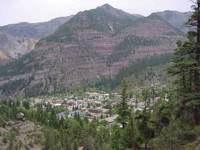
View of "Amphitheater" from Box Canyon.
After lunch at the base of the Black Canyon of the Gunnison, we pushed on to Ouray. Ouray is located in southwestern Colorado on US Highway 550, approximately 80 miles north of Durango and 35 miles south of Montrose. The portion of Highway 550 between Ouray and Silverton, 24 miles to the south, has been named The Million Dollar Highway and is part of the San Juan Skyway, one of the most scenic and spectacular mountain drives in North America. The hotels are so-so. We bunked at the Best Western with its onsite 'hot springs'. Highly recommend Outlaw Restaurant & Mountain Cookout - Ouray's longest operating restaurant and home of John Wayne's hat.
 Box Canyon Falls, 285 feet tall, is the centerpiece of a park at the southwest end of Ouray.
 Walkways with handrails lead to the inner chasm of the falls.
A trail climbs to a footbridge directly above the falls. This trail provides great views of Ouray and the surrounding mountains - like this shot of "The Amphitheater" and Ouray.
Walkways with handrails lead to the inner chasm of the falls.
A trail climbs to a footbridge directly above the falls. This trail provides great views of Ouray and the surrounding mountains - like this shot of "The Amphitheater" and Ouray.
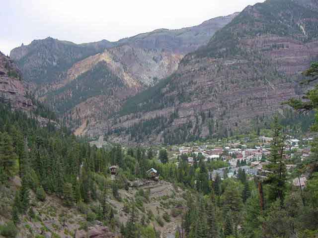 Amphitheater and Ouray.
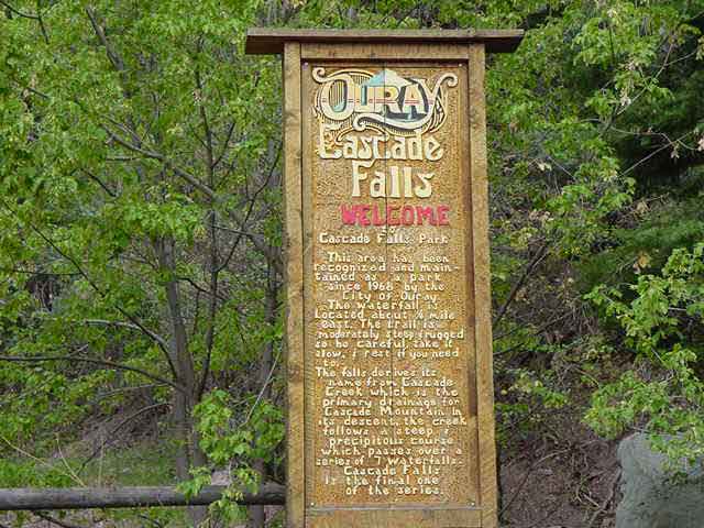 Cascade Falls: Another cascading waterfall within the city limits of Ouray.
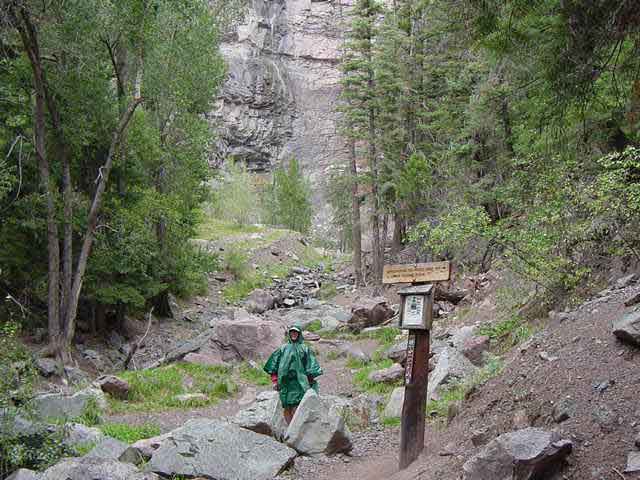
 Drive or walk to the end of 9th Street where the easy trail begins.
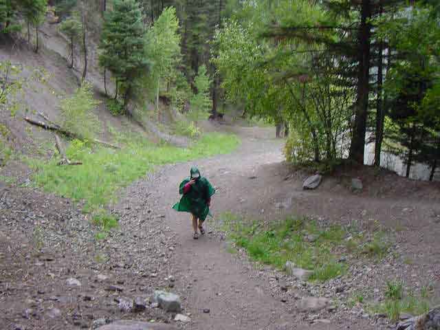 The cascade is seven-tiered and I'm sure it is very beautiful - when there's water in it.
 We came. We saw. We....got rained on.
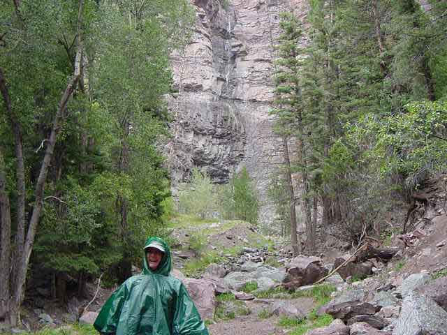 Doesn't take much to make us happy.
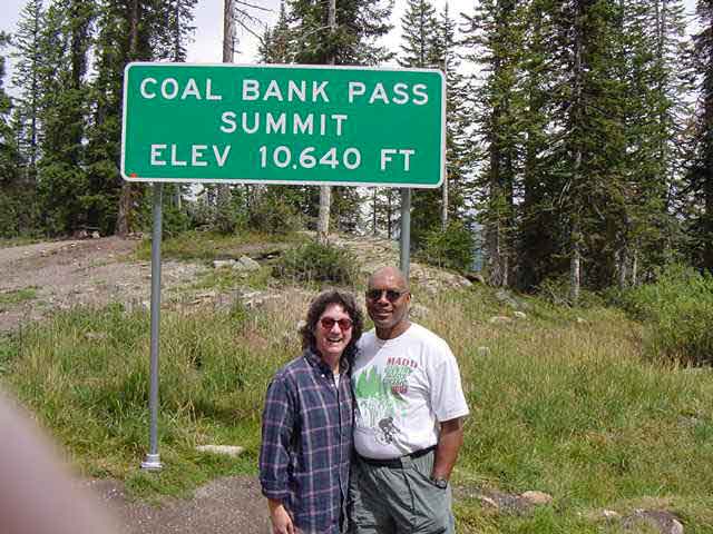 Heading for Durango.
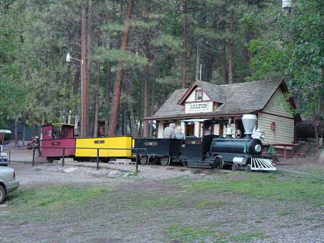 We had a great dinner and entertaining western show at the Bar-D Chuckwagon. A MUST!!
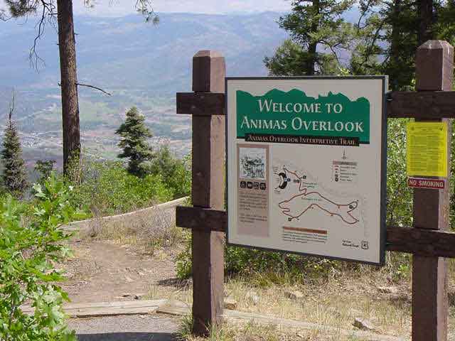 Animas View Overlook Trail
This trail is an easy .6-mile walk that can be treated as a half or full-day hike. It is a short but pleasurable trail that tells of the forces of nature that formed this area of Colorado. The trail, which is fun and educational, is open May thru October. Along the hike, signposts provide geological and ecological information about the trail. This trail is also the only one in the Durango area which is wheelchair accessible.
Animas View Overlook Trail
This trail is an easy .6-mile walk that can be treated as a half or full-day hike. It is a short but pleasurable trail that tells of the forces of nature that formed this area of Colorado. The trail, which is fun and educational, is open May thru October. Along the hike, signposts provide geological and ecological information about the trail. This trail is also the only one in the Durango area which is wheelchair accessible.
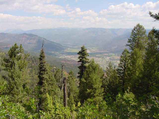 The hike leads to the San Juan Mountain Overlook, which provides a beautiful view of the Animas Valley. There are also plenty of signs of wildlife along this trail. Squirrels, deer and a variety of birds can be seen on this hike.
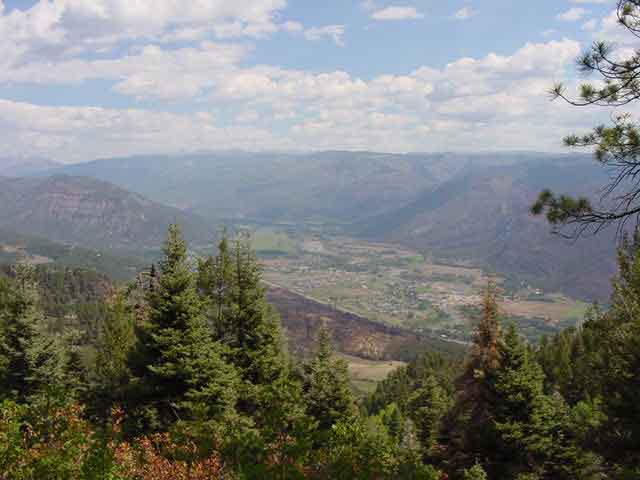 Looking toward Highway 550 north of Durango. You can see remnants of 2002 fires.