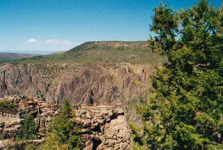
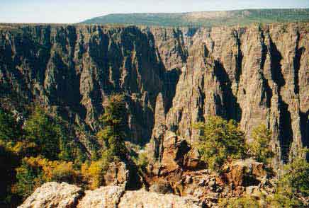
After lunch, and a short rest, we continued on before eventually intersecting Hwy. 50 to Black Canyon of the Gunnison National Park. The Gunnison River travels 53 miles through the Black Canyon - 14 of which are in the park boundaries. No other canyon in North America combines the narrow opening, sheer walls, and startling depths offered by the Black Canyon of the Gunnison. It is so deep, so sheer, and so narrow that very little sunlight can penetrate it - hence, why it was named "Black." The park is located approximately 250 miles SW of Denver. South Rim: 15 miles east of Montrose, via U.S. Hwy 50 and CO Hwy 347 North Rim: 11 miles south of Crawford, via CO Hwy 92 and North Rim Road (closed in winter).
View from first overlook.
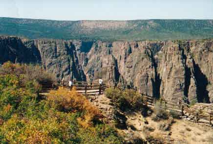
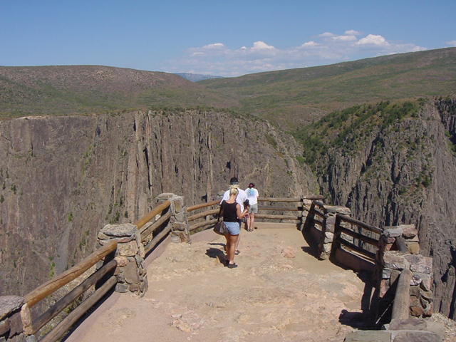
Tomichi Point. The first overlook in the park.
 Hiking trails at Black Canyon are catagorized in two groups: rim trails and inner-canyon routes. Rim trails are well established hikes ranging in difficulty from easy to strenuous and remain along the canyon rim. No permits are necessary for rim trails.
 As in any wilderness experience, you should be prepared to adapt to the conditions found there. This is an on-your-own experience. There are no maintained or marked trails into the inner canyon, which is designated as wilderness.
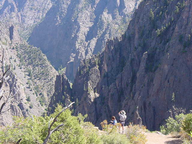
 Routes are difficult to follow, and only individuals in excellent physical condition should attempt these hikes. Hikers are expected to find their own way and to be prepared for self-rescue. On this day, a 'climber' fell to his death.
 While descending, study the route behind, as this will make it easier on the way up when confronted with a choice of routes and drainages. Not all ravines go all the way to the river, and becoming "cliffed out" is a real possibility. Poison ivy is nearly impossible to avoid, and can be found growing 5 feet tall along the river. Pets are not allowed in the wilderness.
 Inner-canyon routes are unmarked, extremely difficult routes to the bottom of the canyon. These scrambles should only be attempted by individuals in excellent physical condition. Permits are required for all inner-canyon routes.
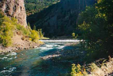
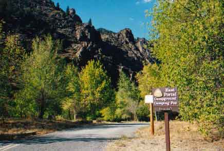 East Portal Campground is located at the bottom of the canyon below Crystal Dam. Access is via the East Portal Road from the south rim. The road is paved with steep grade and switchbacks - NO trailers, buses or large RVs are allowed. 15 campsites are among trees next to river, near the historic Gunnison River Diversion Tunnel. Good fishing access. Picnic tables, fire grates, vault toilets, water and vistor contact station. $10.00 per night.
 The canyon is even more impressive from this vantage point. Lunch was in the back of the 'Cruiser parked in right background.
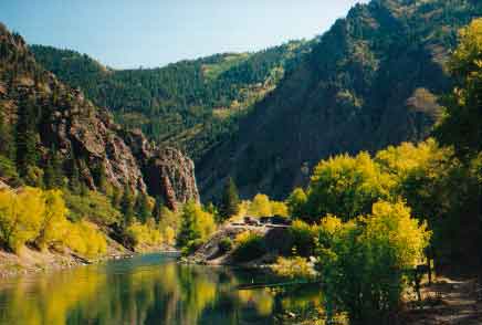
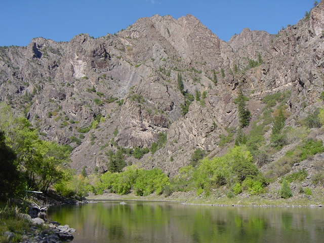
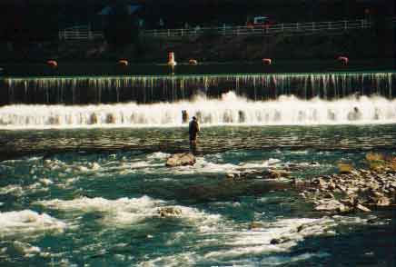 Fishing is said to be good here. A valid Colorado fishing license is required, and Gold Medal Water regulations apply - artificial lures only; possession limit for brown trout is 4, of which only 1 fish may equal or exceed 16” in length; all fish between 12” and 16” must be released.
 The water is a cooool 50 degrees.
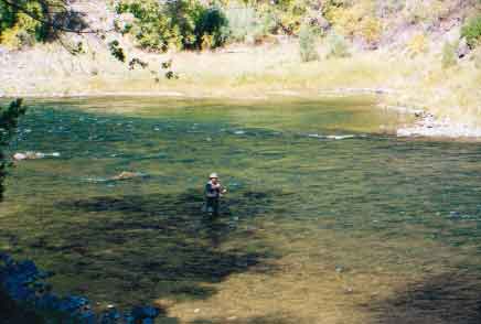 Rainbows are catch and release only.
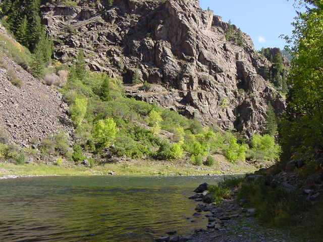
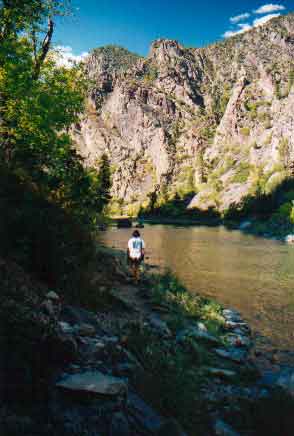 The canyon is so narrow that there is always shade. Deb strikes out on short river's edge hike.
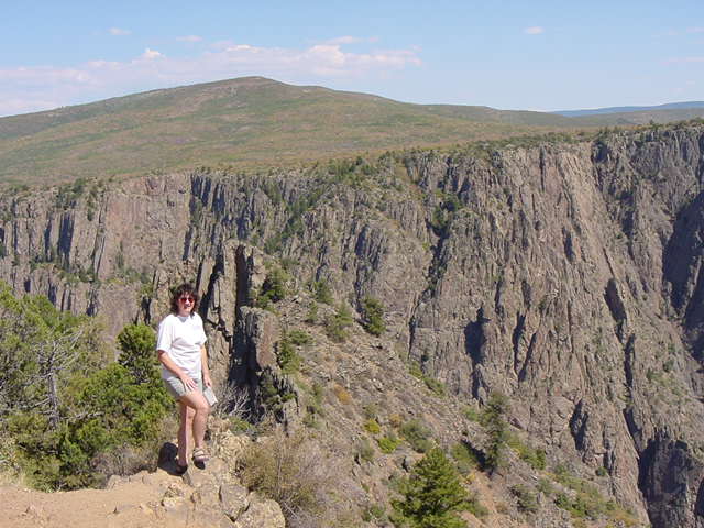
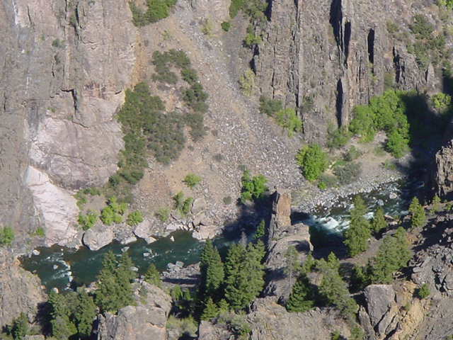 River is 1500 feet below. Seems closer - unless you are here.
 Just one more place to love in Colorado.
 I loved this place!
